01
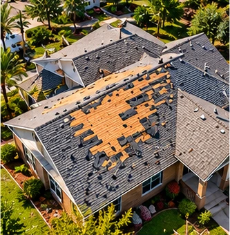
Storm Damage Documentation
High-resolution aerial imagery documenting visible damage from wind, hail, and other weather events.
COMMERCIAL DRONE SERVICES / CENTRAL TEXAS
High-resolution aerial imagery to document property conditions, visible damage, and provide clear visuals for insurance claims support.
CLEARER DOCUMENTATION
Drone imagery provides an efficient way to document property conditions and visible damage after storms, weather events, or other incidents.
Our high-resolution aerial photographs give property owners, insurance professionals, and contractors a clear view of affected areas, helping support documentation and informed decision-making.
OUR SERVICES
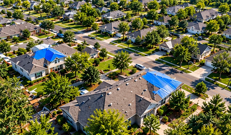
Our aerial imaging services provide detailed visual documentation for property condition records and insurance claims support.
High-resolution aerial imagery documenting visible damage from wind, hail, and other weather events.
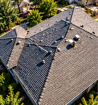
Detailed aerial photographs of roof conditions, visible damage, and hard-to-access areas.
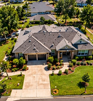
Aerial imagery to establish property conditions before an event, useful for insurance records and risk management.
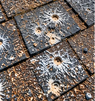
Detailed photographs of specific areas to highlight visible damage and property conditions.
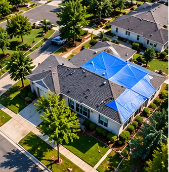
Organized aerial photographs and visual records that can support insurance claims documentation and contractor estimates.
COMMON APPLICATIONS
Single-family homes, multi-family properties, and residential communities.
Office buildings, retail centers, industrial facilities, and multi-site properties.
Wind, hail, and severe-weather damage documentation.
Visual documentation for property owners, insurance professionals, and contractors.
OUR PROCESS
Discuss your goals, property details, and imagery requirements.
Plan the right approach for your property and areas of interest.
Capture high-resolution photos and/or video.
Receive organized imagery and files for your use.